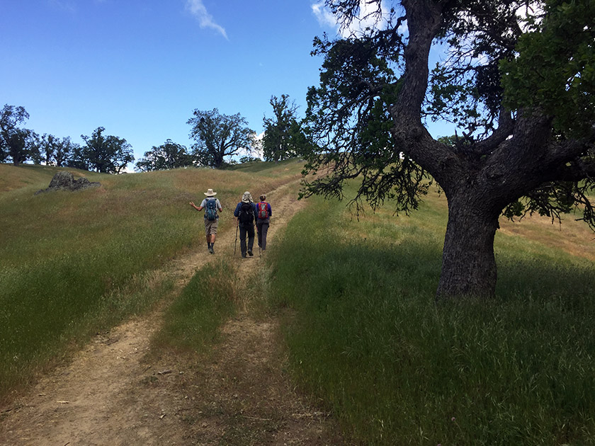
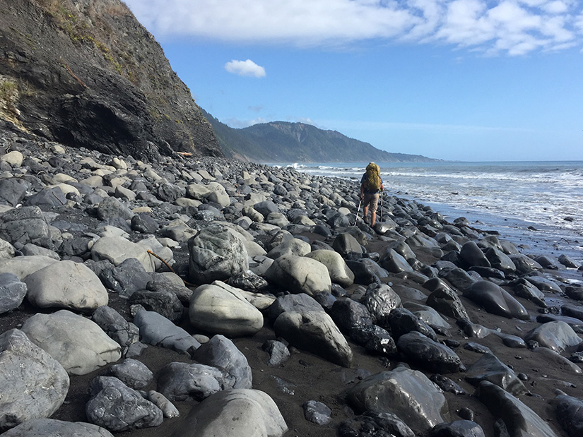
On August 21st at about 10 in the morning, the moon cast its shadow across northern Oregon. In the weeks leading up to this solar eclipse, several unfortunate events caused the closure of virtually all designated wilderness areas along the PCT in the path of totality. (The excuse was fire danger, but it was most likely due to the hysteria surrounding the apocalyptic amount of visitors Oregon was predicting for the eclipse.) We had originally planned to be somewhere on the PCT, but in a short amount of time we needed to come up with an alternative. With the help of Google Maps, we randomly settled on the Strawberry Mountain Wilderness. Continue reading “Strawberry Mountain Wilderness Loop”
Tag: waterfall
Murietta Falls
Murietta Falls. Other hiking blogs have referred to it as a “regional gem.” That might be true, but it’s certainly no Yosemite Falls. While the waterfall itself might leave a little to be desired, the hike is appealing: it’s incredibly steep (a good challenge!) and it provides nice views of the East Bay. Continue reading “Murietta Falls”
Dipsea, Steep Ravine and Matt Davis Trail Loop
A good friend of ours is moving back to the East Coast this week. She wanted to spend one of her last few weekends in California seeing some sights. It’s a long drive to Stinson Beach (from almost anywhere), but this hike was a great choice. It has redwoods, waterfalls and ocean views. All very California. Continue reading “Dipsea, Steep Ravine and Matt Davis Trail Loop”
Falls Trail Loop at Mount Diablo
For anyone who has hiked in Mount Diablo’s blistering summer heat, it seems almost impossible that there could be even a single waterfall on that mountain, much less an entire trail dedicated to numerous falls. The Falls Trail is a 1.15 mile point-to-point trail located somewhere amongst the maze of paths on Mount Diablo’s north slope. We hiked the Falls Trail as part of a 7-mile loop, beginning and ending at the Mitchell Canyon Visitor Center. Continue reading “Falls Trail Loop at Mount Diablo”
Cataract Trail Loop
Cataract Falls is a mile long series of small cascades, tumbling through a steep redwood-lined gully in the Mount Tamalpais watershed. The Cataract Trail loop is about 7 miles, beginning at the falls and ending at the falls. This is the kind of trail that’s perfect for a rainy day when you’re itching to get outside. Continue reading “Cataract Trail Loop”
Hiking the Lost Coast Trail
The Lost Coast is the most rugged, undeveloped stretch of coastline in California. There are no highways or major roads in the area. It was named the “Lost Coast” after the region experienced depopulation in the 1930’s, but the name still seems appropriate today considering the isolated nature of the place. Continue reading “Hiking the Lost Coast Trail”
Kings Creek Falls Trail
A waterfall hike might not be the first thing that comes to mind in the midst of a severe drought. Nevertheless, after hiking the Lassen Peak Trail, we decided to check out the nearby Kings Creek Falls and upper cascades. We were pleasantly surprised by the amount of water in Kings Creek. Continue reading “Kings Creek Falls Trail”
Pico Blanco
Pico Blanco. It’s a mountain. It’s a backcountry camp in Big Sur. And it’s a Boy Scout retreat in the Ventana Wilderness. We visited all three in two days and twenty miles. Continue reading “Pico Blanco”
Yosemite’s North Rim
In the Footsteps of John Muir [Part II]
John Muir described two single day Yosemite hikes in Chapter 12 of his book The Yosemite. The chapter is titled “How Best to Spend One’s Yosemite Time.” By today’s standards, these hikes are very difficult – about 20 miles with around 5000-ft of elevation gain. We followed his advice and completed the first recommended hike back in October 2013. It was probably the hardest day hike we’ve ever done. We were game for the second one. Muir’s second single day hike takes you up Yosemite Falls to Eagle Peak, over to the top of El Capitan, then back down to the Valley via the (now abandonned) Old Big Oak Flat Road Trail (OBOFRT). Continue reading “Yosemite’s North Rim”
Backpacking Tuolumne Meadows to Yosemite Valley
It’s no surprise Yosemite is one of the most visited National Parks in the country – the place is beautiful. Backpacking is a great way to get away from the crowds of Yosemite Valley. The trails are still more heavily travelled than many others in the Sierras, but the scenery is unbeatable. There are several different ways to get from Tuolumne Meadows to Yosemite Valley. Our route took us over Clouds Rest and up Half Dome. Continue reading “Backpacking Tuolumne Meadows to Yosemite Valley”