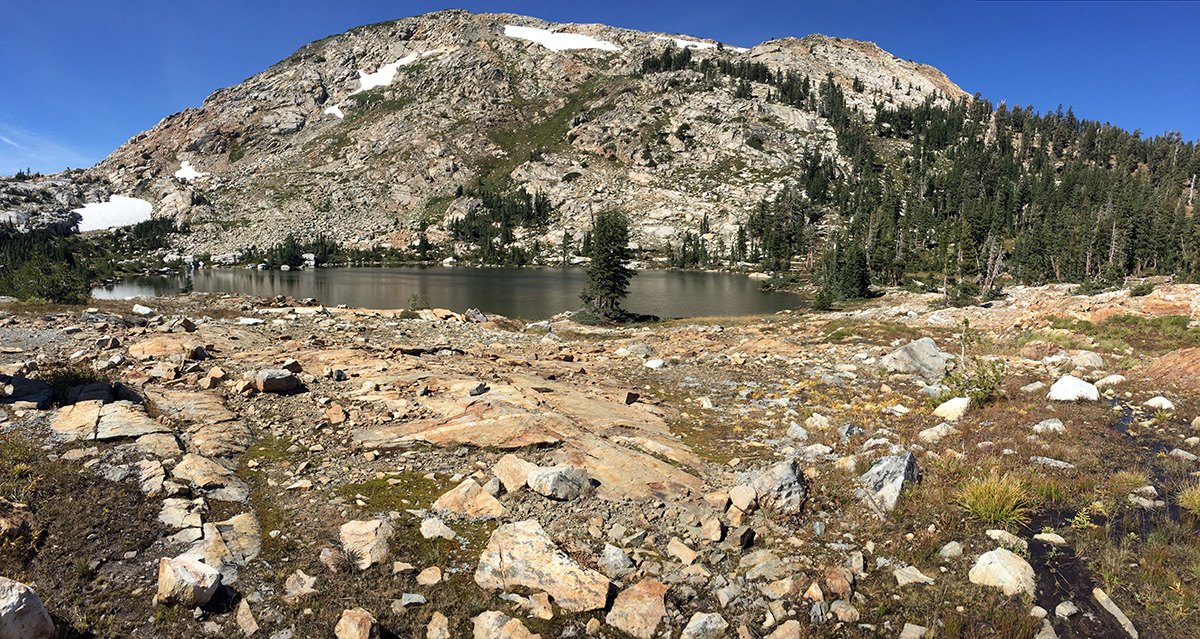
Rockbound Pass: Desolation’s Desolate Side

Desolation Wilderness is one of the most heavily used wilderness areas in the country. It can be difficult to find solitude, especially if you’re hiking to Lake Aloha or up Pyramid Peak on a summer weekend. The hike over Rockbound Pass is far less crowded than many of the trails on the eastern side of the wilderness. This 24-mile loop offers some of Desolation’s best scenery with numerous alpine lakes and stunning views of the Crystal Range. Continue reading “Rockbound Pass: Desolation’s Desolate Side”

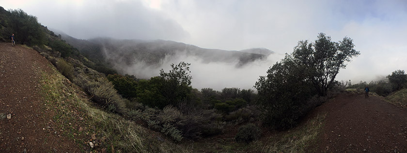
Falls Trail Loop at Mount Diablo

For anyone who has hiked in Mount Diablo’s blistering summer heat, it seems almost impossible that there could be even a single waterfall on that mountain, much less an entire trail dedicated to numerous falls.  The Falls Trail is a 1.15 mile point-to-point trail located somewhere amongst the maze of paths on Mount Diablo’s north slope.  We hiked the Falls Trail as part of a 7-mile loop, beginning and ending at the Mitchell Canyon Visitor Center. Continue reading “Falls Trail Loop at Mount Diablo”

Mount Agassiz & Mount Price – Desolation Wilderness

Pyramid Peak gets all the attention, but its two sisters in the Crystal Range are definitely worth a visit.  Mount Price (9975′) and Mount Agassiz (9967′) can easily be hiked in one day. The Lyons Creek trailhead offers a direct approach to both peaks from the west side.  The roundtrip hike is approximately 13 miles with over 3000-ft of elevation gain. Continue reading “Mount Agassiz & Mount Price – Desolation Wilderness”

Red Lake Peak

On this day in 1844, John C. Fremont and Charles Preuss summited Red Lake Peak. It wasn’t a particularly impressive climb, or circumstance; it was however the first documentation of an identifiable peak climbed in the Sierra. Surely many people climbed peaks before this, but since this blog is a place where we document climbs of peaks (and other hikes), the 171st anniversary of the first documented peak climb seems significant.  In any case, repeating this climb seemed like the best possible way to spend a Valentine’s Day. Continue reading “Red Lake Peak”

Pleasants Ridge – Putah Creek Wildlife Area

Pleasants Ridge is one of those trails I’ve passed by and ignored on many occasions.  We are frequent visitors to the Stebbins Cold Canyon Loop, but we rarely branch out to any of the other trails in the area. The Pleasants Ridge hike starts at the same trailhead – just off of Highway 128 in the Putah Creek Wildlife Area. Roundtrip distance is about 2 or 3 miles, depending on how far you want to go. We followed the trail to the end of the ridge. The last half mile or so is very overgrown and does not see a lot of visitors. Continue reading “Pleasants Ridge – Putah Creek Wildlife Area”

Pyramid Peak via Rocky Canyon

We’ve attempted and failed to hike Pyramid Peak more times than I’d like to admit. Poor planning, late starts and crappy weather have all thwarted past attempts. Our friend Nolan has had a similar experience. After climbing far more challenging peaks, we (jokingly) began to wonder if we’d ever make it to the top of “the elusive Pyramid Peak.”

Finally, this past weekend we made it happen. The weather was looking to be perfect. We chose the most direct route – Rocky Canyon from Highway 50. We were determined to finally knock this one off our list. Continue reading “Pyramid Peak via Rocky Canyon”

Mount Williamson via Shepherd Pass

00

There is nothing easy about climbing California’s second tallest peak. The approach is long (over 26 miles round trip) and involves climbing nearly 10,000 ft. Some super humans have day hiked this peak. We took three days to do it and it was still quite a challenge. Continue reading “Mount Williamson via Shepherd Pass”

Round Top and Winnemucca Lake

00

Climbing to the top of Round Top is an interesting hike – it starts of very mellow/easy and gets progressively more difficult as you get closer to the summit. The final 100′ or so are considered an easy Class 3. This hike is located in the Carson Pass Management Area (part of the Mokelumne Wilderness), just south of Highway 88 near Kirkwood Mountain Resort. The beginning of the hike is crowded – many people simply hike up to Winnemucca Lake (a worthy destination in itself) – but far fewer people reach the summit of Round Top. When hiked as a loop, this trip is approximately 6.5 miles with 2000 ft of elevation gain. There are many trail signs; if one knows which general direction to head in, it’s nearly impossible to get lost.

Continue reading “Round Top and Winnemucca Lake”