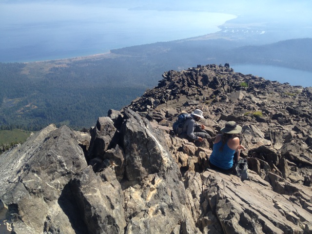
Basics: Mount Tallac is a 10 mile hike (out and back) with approximately 3500 ft of elevation gain. The main trailhead is just a few miles west of South Lake Tahoe, though this peak can also be reached from Gilmore Lake and other areas deeper in Desolation Wilderness. It’s strenuous, but the incredible views down to Fallen Leaf Lake, Lake Tahoe, and over to Desolation Wilderness make this a very popular hike. On summer weekends, there can easily be dozens of people on the summit at once. I would recommend an early start. Permits for day hikes are self-issued at the trailhead. For overnight trips, reserve your permit in advance at Recreation.gov.
Directions to Trailhead: From South Lake Tahoe, take Hwy 89N for about 3.5 miles. Make a left on Mt Tallac Road (directly across from the turnoff of Baldwin Beach). From there, it’s another mile to the trailhead. Follow signs for Mount Tallac.
[sgpx gpx=”/maps/Mt_Tallac.gpx”]
Trail Description: As much as I hate waking up early, especially on weekends, sometimes it’s worth it. There were afternoon thunderstorms in the forecast and it was a good friend’s birthday, so we hoped to be up and down Mt Tallac by mid-day. I begrudgingly set the alarm for 5:30 am, then somehow managed to wake up without it at exactly 5:29 am. We were out the door before 6 am. After a quick stop for coffee, we drove out to the trailhead and began hiking as the sun came up.

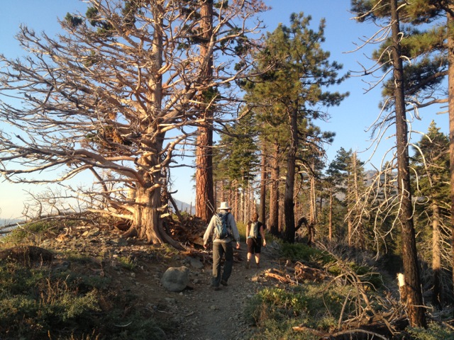
This trail is nice because it doesn’t start out too steep. When I’m really tired early in the mornings, it’s difficult to do anything too strenuous; this trail eases you into it. After about a mile, we came to a ridge above Fallen Leaf Lake.

The views down to the lake were interesting. The American fire burning near Foresthill had blown a lot of smoke over the Tahoe area. There was a misty (smoky) early morning haze over everything.

We followed the ridge, high above the lake, then veered to the west and reached Floating Island Lake. Rob was disappointed to see that this lake did not have any kind of island in it.
From there, it was a little ways further to Cathedral Lake. This lake was really pretty and I decided it would be a nice place to camp in the future. Shortly after, I spotted some tents tucked away in the trees on the opposite side of the lake. I guess other people felt the same way. We were so early, they were still waking up.

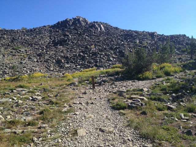
From Cathedral Lake, the trail really started climbing. We went up rocky switchbacks; there were some nice stairs built out of granite. After several really steep switchbacks, we made it up to the ridge behind Mount Tallac. Behind us was a great view of Fallen Leaf Lake and Lake Tahoe. In front of us we could see Pyramid Peak, Ralston Peak and much of Desolation Wilderness. We couldn’t see Mt Tallac though.


We turned right and the trail began following the ridge towards the mountain. Luckily, it was less steep. It was about two more miles (with great views into Desolation) before we reached the next trail junction. A trail went straight towards Gilmore Lake, and a second trail split off to the right towards the summit.

After another 0.2 miles we reached the top! There were four other people and a dog with cute dog boots up there. It felt kind of crowded, after some of the other peaks we’ve climbed recently. Apparently though, that was not at all crowded.


After eating some snacks, snapping some photos, we turned and headed down. We saw a couple dozen people making their way towards the summit as we headed down. A few of them mentioned that we must have gotten a really early start. I was glad we did.

This trail was the perfect length for us. We were all sufficiently tired at the end, and we made it back in time to order a pizza for lunch and enjoy the afternoon at our lakefront vacation rental. The hike may have been warm and a bit crowded, but an early start and lots of sunscreen made that okay.
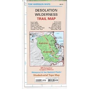
More Info: If you plan to hike regularly in Desolation Wilderness, you shouldn’t be without this awesome Tom Harrison Map:


Thanks for the report! Too bad about the smoke but I hear that it’s much worse now.
Yes- we were lucky the Rim Fire hadn’t really gotten going yet when we were there. I saw news footage of the smoke in Reno and Tahoe over the past weekend. It looks pretty awful.
btw, this appeared yesterday at sac bee.
http://www.sacbee.com/2013/08/21/5670151/hike-to-the-summit-of-mt-tallac.html?mi_rss=Photo%20Galleries
Smoke now may have dissipated. May go up there to check it out. Presume no summit register or anything. Any report on hikers’ trash to have to clean up?
Thanks for the link!
I think most of the smoke has cleared out. The forecast for Saturday still says “areas of smoke” but Sunday looks like it will be clear!
There was no register. Also, we didn’t see a benchmark.
We picked up a few wrappers off the trail when we hiked. There wasn’t too much trash, but I’m sure I could have picked up more if I had been looking for it.
The trail has been redone. Part of the hike is now carved into the side of the mountain.
Thanks for the info! We’ll have to hike it again soon!