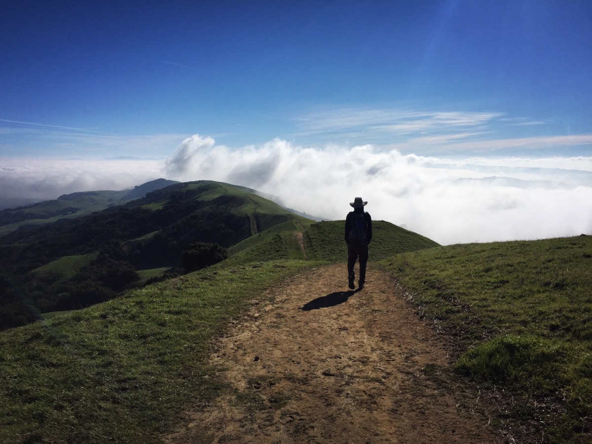
It wouldn’t be an East Bay Regional Park if there weren’t cattle grazing alongside the trail. Despite the cows, Las Trampas is a nice park. It offers easy access to a large network of trails in steep terrain. It’s particularly scenic in the winter when the grass is green.
| Hike Basics |
| Distance: 5 miles |
| Elevation: 1500 ft |
| Red Tape: No entrance or parking fees. A permit is required for hikes on nearby EBMUD land. (Our route did not require a permit.) Check the map for EBMUD boundaries. Permit information can be found here. |
| Other Notes: The trails are steep. Water in the park is unreliable. There is a picnic area and restroom at the trailhead. Click here for a detailed trail map. |
Directions to Trailhead
From I-680 in San Ramon, take Crow Canyon Road west to Bollinger Canyon Road, turn right (north) and follow it to the parking lot (4.4 miles). Google Map link to trailhead.
Hike Description
With all the recent rain, we planned a hike to Murietta Falls in the Ohlone Wilderness. Unfortunately, with all the recent rain, Del Valle Regional Park (where the hike begins) is closed due to flooding! We didn’t know this until we had already made the long-ish drive to Livermore. We considered parking nearby and sneaking on to the trail because you can’t close nature! But there was a park ranger in the little kiosk, turning people around. We couldn’t even get close.
After a quick search on our phones, we decided to check out Las Trampas Regional Wilderness. The word “wilderness” shouldn’t fool anyone – East Bay Regional Parks are more cattle grazing land than they are wilderness – but the trails are steep and the views are good.
We started up the Rocky Ridge View Trail. The first half mile or so is on an extremely steep, paved road. Lots of people were out and about, enjoying sunny weather.


After approximately 0.6 miles, we departed the pavement and turned left, continuing on the Rocky Ridge View Trail. From here the terrain became a little flatter as we hiked along a ridge.


We took the trail all the way to its end at a locked gate on the park’s boundary. We paused and enjoyed the views until the cold breeze had us thoroughly chilled. We then backtracked a short distance to the junction with the Elderberry Trail.


We followed the less spectacular and more muddy Elderberry trail back down to the parking lot.


More Info:
For additional information (picnic reservations, alternate entrances, horseback riding, etc.), check the East Bay Regional Park District’s Las Trampas website.

We hiked Las Trampas today, did a 7-mile loop on the north side. Beautiful scenery, Diablo on one side and Rocky Ridge on the other… no cows out today but plenty of evidence. Like your walk, very muddy with some unintentional “skiing” down the steepest trails. But lots of company dodging rain showers out there with us. Good recommendation!
We were pleasantly surprised by Las Trampas! We just hiked in Wildcat Regional Park today. Same thing- skiing down the mud for much of the hike. I only fell once. Good times!