Shortly after our last failed attempt at backpacking in Desolation Wilderness, I was ready to try again. We waited a few weeks for more snow to melt, then made our reservation for Lake Aloha (Zone 33). We snagged 6 of the allotted 25 spots for this zone.
Basics: This overnight hike was about 13 miles round-trip. This distance sounds easier than it is – the Ralston trail begins by climbing 2400-ft in a few short miles. Anyone looking for an easier approach can access Lake Aloha from the Echo Lakes area. From the route described in this post, it’s possible to take short detours to climb Ralston Peak or visit several other Desolation Wilderness lakes.
Directions to Trailhead: The Ralston trailhead is located on the north side of Highway 50 near Camp Sacramento. There is a wide dirt turnout exactly 3 miles past the Strawberry Lodge (when approaching from the west). There is a turn lane and a sign for Camp Sacramento – if you’re paying attention you won’t miss it. Here is a link to the location in Google Maps.
Trail Description: Most people camping or hiking near Lake Aloha approach from the trailhead at Echo Lakes. In the summer, a water taxi is available to shuttle hikers across the lakes, making for an easier trip. I opted to hike via the Ralston trail instead. I’d like to say it’s because I wanted the challenge, but in reality, I forgot how freaking steep the Ralston trail actually is. I mostly just wanted a shorter drive to the trailhead. It’s only a difference of 15 minutes, but I dislike being in the car that much. My driving also made Rob a little carsick, so it’s probably good we stopped where we did. As a bonus, from this trailhead we’d be able to hike Ralston Peak if we felt up for it.
Six of us met near the trailhead at 9:00am. The forecast for Sacramento was 100+ degrees for the weekend. It was maybe 20 degrees cooler up in the mountains, but still quite warm as we began hiking uphill.

The trail is shaded for the first mile or so. The next two miles are sunny and steep- climbing over 2000-ft. We took quite a few breaks. After just under 3 miles of hiking, the unofficial trail up Ralston Peak split off to our right. It’s well travelled and hard to miss. We continued straight and traversed around the peak to a high point at 8900-ft (3.5 miles from the trailhead). From this point, the actual mapped Ralston trail splits off to climb the summit. We continued straight and began descending towards Lake Aloha, Lake of the Woods and the PCT.
We were now on a lightly travelled north facing slope. Snow!!! Despite the warm weather, there were many snowy patches covering the trail. Using GPS, Rob navigated us in the correct direction. What we thought would be easy downhill hiking morphed into postholing and navigating around little streams. We took a lot of breaks to check the GPS and to rest.

We spotted fresh bear tracks in the snow – a mama bear and a little cub! I sincerely hoped we would not run into them.
At around 4.5 miles, we began climbing up out of the trees. Soon we had epic views of Pyramid Peak to the west, Ralston Peak (behind us), Lake of the Woods and Lake Aloha.

Lake Aloha still looked far away, but we were only a couple of miles from the shore.

At about 5 miles in, we hit the PCT/TRT. Navigating this trail was much easier – there were plenty of boot prints to follow through the snow. We were all pretty tired, but the last mile or so to the lake was relatively flat. The trail continues along the lake for over a mile, but we set up camp as soon as we spotted a suitable area.

Our total hike in was about 6.5 difficult miles. It would have been a lot easier without the snow. There were a number of other people camped around the lake, but we had plenty of space. It was peaceful, beautiful and relaxing.


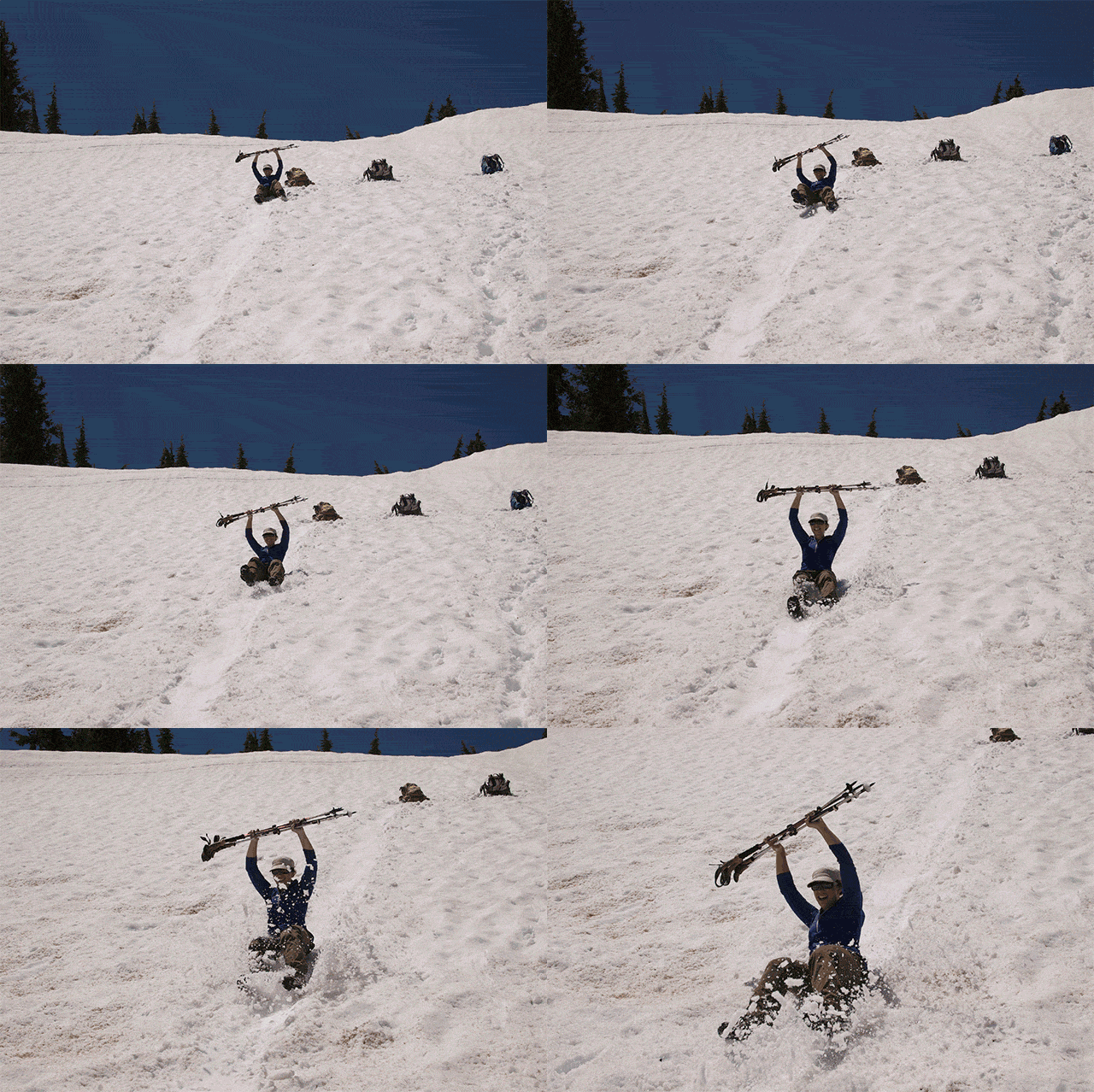
The next morning, our hike out was significantly less difficult than the hike in. We were able to follow our footprints from the day before. We even had some extra energy to play in the snow.


Rob and I split from the group when we were about 3.5 miles from the cars. We added an extra mile to our trip in order to summit Ralston Peak. The views were of course great: Lake Tahoe, Echo Lakes, Pyramid, Lake Aloha, and many other Sierra Peaks.

The detour was well worth it, but we were pretty tired when we finally reached the car. Can’t wait to head back up there again this summer!
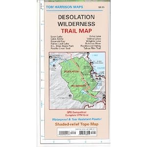
More Info: This is a great map of Desolation Wilderness by Tom Harrison:


When was this? Is this on the day the site says it was (June 15th) or is that the day it was posted?
Hello Skye- it took me a little while to get this one posted. We were up there June 7-8. I’m sure quite a bit more snow has melted over the past week.
Nice to see people are hiking and enjoying. Ralston 30X is in my cards, should I regain some strength and will. Though I may go again by the water taxi.
Ralston 30X is impressive. This was only our second time hiking this one – both times from the same trailhead on Hwy 50.
Well, at 29X currently, I haven’t done it yet! Over the decades, you may get to do hikes over and over. I’ve got a lot of such multiple ascents, as I love summiting! Pyramid 25X, close by Sac Town, and once there was a good hiking club, till the attorneys got to it. Enjoy it while you can, you may lose interest and all potential companions as you age, though no one was ever too old to hike and climb with me! Now that I’m older, there’s no one, not even for pay, to climb or hike anything!
Just looked back at this post since we did this trail (in the opposite direction) this weekend. Funny that it was pretty much the same weekend last year that you did it!
That’s so funny! In your photos it looked a bit colder than our trip, but still so pretty! Can’t wait to go back.
If you continue past Aloha, Heather and Susie lakes, Gilmore Lake is a very peaceful spot to camp.
A good days trek w water taxi