
Basics: This 10 mile hike is located on BLM land, just across the highway from Cache Creek Regional Park. The hike starts off climbing steeply up to Billy’s Hill. After enjoying the views from there, it’s possible to continue on up two ridges (with a few steep sections) all the way over to Glascock Mountain. There is no official trail, but the path follows a combination of use trails, fire breaks and a somewhat overgrown fire road.
Directions to Trailhead: From the Capay Valley, follow Highway 16 past all the little towns and the casino. The road gets curvier as you approach the mountains. Drive past the parking lots for Cache Creek Regional Park. After the confluence of Bear Creek and Cache Creek, be on the lookout for the Colusa County post mile markers. There is a wide gravel turnout on the left side of the road shortly after post mile 6.00. After parking, walk North along the highway for a short distance (crossing a creek bed). Across the highway, a green gate marks the beginning of the trail.
[sgpx gpx=”/maps/Glascock_Mtn.gpx”]
Trail Description: I set the alarm to wake up before 7 on Saturday. Rob was horrified when it went off, but I wanted to hike! We stopped at the grocery store for sandwich supplies and breakfast burritos, then headed out towards Cache Creek. We reached the trailhead shortly before 10:00 AM. It was already pretty warm. It’s January and the rest of the country is frozen, but California seems to be enjoying 70 degree sunny days. Where is our rain?!
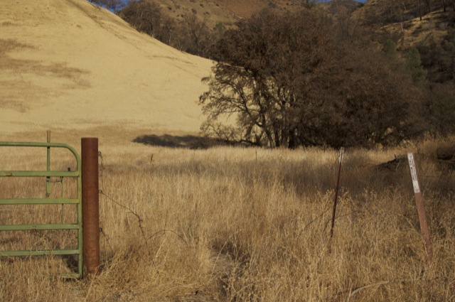
After parking, we crossed the highway and started up the trail. Many little use trails cut straight up the grassy hill to our left. We picked the least steep looking trail and headed up towards Billy’s Hill. We ended up walking in the opposite direction of Glascock Mountain. I was questioning if we were on the right path, but Rob had the topo map loaded on his phone – he led us up Billy’s Hill via the least steep route. Basically, you just continue up and to the left from the trailhead. Eventually you reach the high point. It is a difficult 1+ mile of hiking!
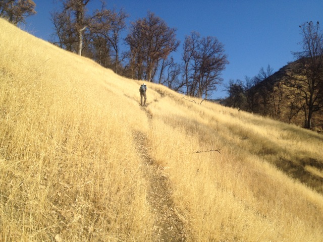
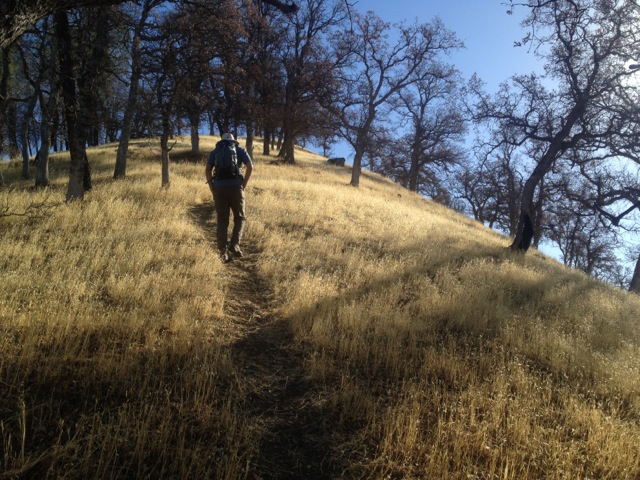
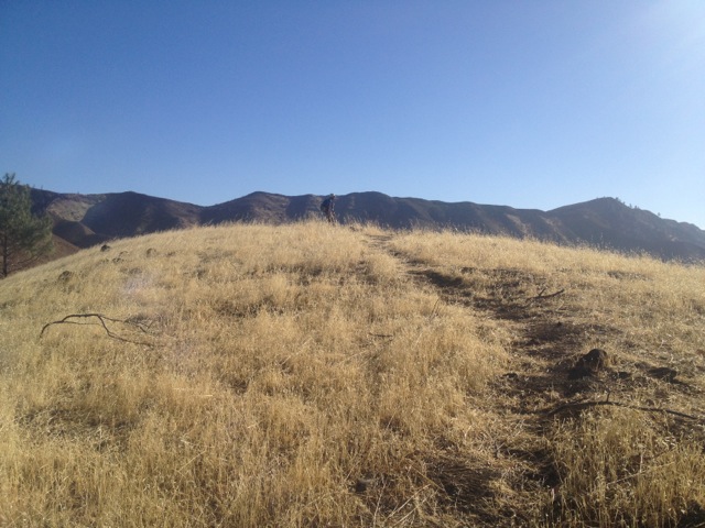
We took in the views from the top of Billy’s Hill, then headed down the western side. We followed a ridge (westward) towards the larger Cortina Ridge. We could see both ridges that we needed to climb, as well as our final destination: Glascock Mountain. The views are pretty spectacular in all directions. The hike got a little crazy steep (I almost slid back down the hill) right before reaching Cortina Ridge. Once we were on the top, the trail was much easier.
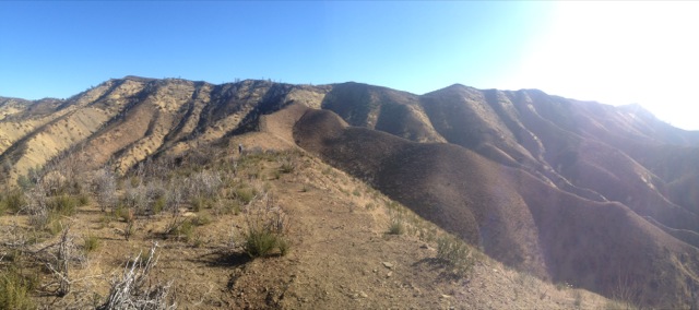
We followed an old fire road (and in some parts just a fire break) along the top of Cortina Ridge. This took us all the way to Glascock Mountain. Alternatively, there is a fire road heading in the same direction, but lower down behind the ridge. The lower road doesn’t have the same views – it’s mostly just chaparral. Parts of this lower road are not on any map, but a large section of it follows a 4WD road that is shown on the topo maps. We ended up returning via this lower route.
Much of our hike was in recently burned terrain. It was difficult to figure out which fire caused all the damage because apparently this area burns all the time. We decided it was the “16 Complex Fire” which closed the highway in September of 2012. I actually really enjoyed hiking in this area – often the chaparral creates an impenetrable wall. There were a few baby chaparral bushes, but the landscape was mostly cleared out. It would have been easy to cut across country had we somehow gotten off the trail. Nevertheless, the fire scar only reinforced the fact that WE REALLY NEED SOME RAIN! Without it, fire season will be even more brutal than normal.

We followed Cortina Ridge for quite a few miles. It was interesting to see where the fire break worked – burned terrain on one side and healthy unburned bushes on the other. It was also nice to see a few ghost pines (gray pines) sprinkled throughout the landscape. Eventually, we reached the southern tip of the ridge – Glascock Mountain! The top of the peak is very flat (it’s not a “peaky-peak” as Rob would say), but the terrain does drop off very steeply on the southern and western sides.
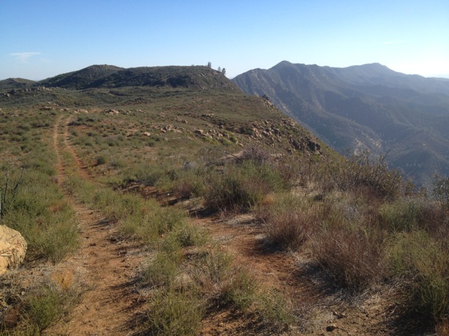
We found a wide rock with a view. Sandwich time! I made bagel sandwiches, using lettuce from our CSA box. We get most of our vegetables from Full Belly Farm in the Capay Valley. We could see the farm (or at least very close to it) from our vantage point! I was very amused by this.

After a 40 minute break, we turned around and headed back down the ridge. This time we took the 4WD and unmarked dirt roads back towards Billy’s Hill. It was downright hot by now. At some point I ran out of water. I drank some of Rob’s water, but he ran out about a mile or two before reaching the car.

We made it to the highway in a little over 3 hours. We drove back into Capay Valley, stopping for water at the very first convenience store we reached. Lesson learned: always bring extra water on a hike, even if you think it will be easy (which it wasn’t) and you think it’s winter and cold (which it wasn’t). Good times.
More info:
Tuleyome (aka Yolohiker) has a brief description and some topo maps for this hike. They can be found here.
Additional info for the 16 Complex Fire can be found here, courtesy of Cal Fire.

Thanks for the report. Looks like a peak that I’ll be doing this way if I ever get some partner.
Nice website. We’re new the area and thought Billy’s Hill was great. Here’s our trip report:
http://www.run-hike-play.com/2016/02/billys-hill-to-cortina-ridge-hike-with.html
Hi Sharon – thanks for the link! Looks like a beautiful day out there.