The Haute Route, meaning the High Route or Mountaineers’ Route, is a trail running between Chamonix, France and Zermatt, Switzerland. There are several variations of the route and it can be completed both by walking in the summer months or ski touring in the winter. The total distance is approximately 180 km (or 110 miles). We hiked the trail in September 2011.
Trail Description:
Day 0: Arrive in Chamonix
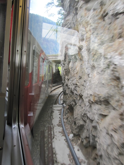
Made it to Chamonix today! The bumpy train ride up the mountains felt a little like the Matterhorn ride at Disneyland… but real instead of fake fun land. Mont Blanc is in and out of the clouds – it’s super impressive. Glad we are just hiking over passes instead of climbing up to the top!

Day 1: Chamonix to Argentiere (9 km)
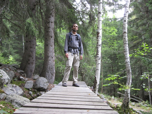
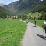
Today we began our trek with a 9 km (5.6 mi) walk to the small town of Argentiere. It was a little confusing at first – many different roads and trails – but soon we just decided to wander through the valley. There is really only one direction to go in anyway. The trail went up and then down, never leaving the forest. Easy first day.
Day 2: Argentiere to Col de la Forclaz (15 km)
Went over our first pass today! We started out early in the morning. The trail climbed through a forest to the town of Le Planet. Soon thereafter we reached Le Tour at the base of Col de Balme. There was a gondola then a chair lift going almost all the way up. We walked up the ski slopes, took a break at the end station of the gondola, then continued to the top. We entered the hut at the top of the pass and met a rude, old French gentleman. He charged us all different amounts for the same items, and made a cheese sandwich for Rob that he handed to him without a plate, napkin or bag. After a quick lunch we headed down, descending through meadow, then forest, then finally pasture with cows ringing noisy cow bells. We found raspberries and wild strawberries in the forest! In the valley we reached our first Swiss town – Le Peuty. We had reservations at a hostel in the hills above, so we still had an additional 3 km of uphill hiking. It was steep and the weather was humid, but we made it. We even had time to eat roesti out on the patio before it started raining. It was 15 km to get to Col de la Forclaz – our destination. Tomorrow should be slightly shorter.
Day 3: Col de la Forclaz to Champex (13 km)
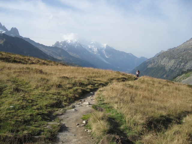
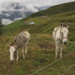
So sore after today! The forecast said it would rain, so instead of taking the high pass, we opted for a 13 km alternate route called the Bovine Route. We all thought this route would be easier, but the ascent was long and steep. (Turns out we still had to go up and down several thousand feet each way). We heard cowbells but couldn’t see cows – Rob feared they were on the trail behind us, chasing us, so he sped up the mountain. We eventually reached the Bovine Alp. There were cows, donkeys and a restaurant! It was more of a mountain hut, but the women working there made delicious roesti. By the time we finished lunch, it was raining. We donned all of our nerdy rain gear and began the trek towards Champex. The tail started flat. A lot of people passed us going the opposite way – many most likely doing the Tour de Mont Blanc. Soon the trail began a difficult descent through the forest. It was slippery, muddy, and very steep. It took forever, but eventually we reached the valley. We still had several hours of walking to do to get to Champex. Everyone had sore legs and it was still raining, so this last part of the day was not the most fun. A bottle of wine was much appreciated by the time we made it to the hotel.
Day 4: Champex to Le Chable (13 km)
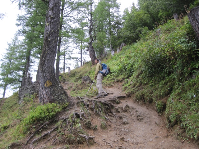
Woke up this morning after a good night’s sleep, ready for an easier 13 km day today. Champex was very foggy and wet when we left. We walked past the lake and into the forest. We took a wrong turn somewhere and ended up walking about 2 km extra. It wasn’t too bad though because the terrain was relatively flat. After getting back on the correct path, we began hiking downwards into a valley. We walked through several tiny Swiss villages. Everything was green and pretty. The clouds were slowly starting to lift, but we still got rained on a bit. We stopped for lunch in Sembrancher. It was a cute and seemingly deserted town. Everything appeared to be closed, but we found a guy in a cafe who happened to have four tiny sandwiches left in his fridge. Who knew butter and salami on bread could make for such a good sandwich? After lunch we walked for 1 or 2 more hours to get to Le Chable. The clouds are finally disappearing and we may be lucky enough to get some sunshine for our long climb up the mountain tomorrow.
Day 5: Le Chable to Cabane du Mont Fort (9 km)
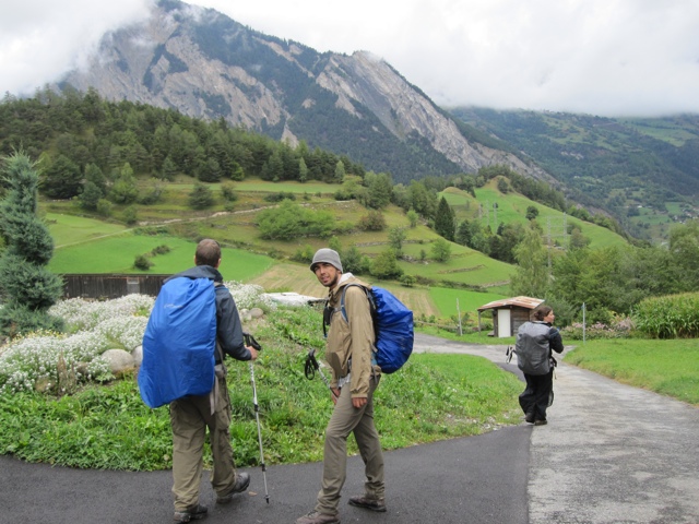
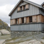
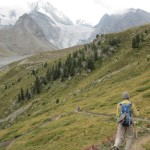
Beautiful day today! We hiked up over 1600 meters (5300 ft) to get to Cabane du Mont Fort – a hut high up on the slopes of Mont Fort. We started around 8am and it was cold enough to see our breath. We warmed up quickly though because the trail was steep. It wound through tiny Swiss villages, then up through forest. We saw a guy with a flock of sheep. He had the help of a border collie who ran over to check us out, then went straight back to work. We stopped at a bench in Clambin to eat lunch. We made sandwiches using some weird meltable gruyere that reminded me of Kraft Singles. They were not the best. Rob ate three. We were sitting near the only restaurant in town; maybe we should have gone there. After lunch the trail kept climbing through the forest. We finally got above tree line and had incredible views of the surrounding snowy peaks. The trail eventually got just slightly less steep. A ski resort, the top of the mountain, and the hut eventually came into view. Right before reaching the hut we had to walk through a field full of cows. They all stared at us, but left us alone. The hut is freezing and it will likely be cold tomorrow. Hopefully it won’t rain on us.
Day 6: Cabane du Mont Fort to Cabane de Prafleuri (14 km)
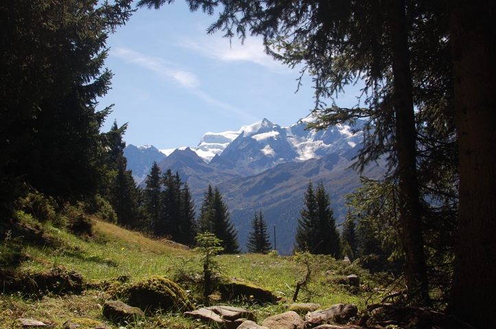
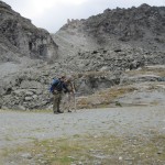
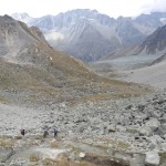
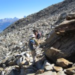
Cold and difficult day today. We hiked from one mountain hut (Cabane du Mont Fort) to a different hut (Cabane de Prafleuri). It was only 14 km (a little less than 9 miles) but we went over three passes! We began the day early. It was foggy and cold. We climbed uphill on a tiny trail on the side of a mountain to get to Col Termin, the first pass. On the way we saw ibex!! From there, we descended then began climbing again to Col de Louvie. This second pass was super steep and there was an ice wind. We ate lunch at the top, got super cold, then headed down. We saw many glaciers. The trail was very stony and tiring. In a few places, we had to do some rock scrambling because rock slides had wiped out the path. We climbed over rocks and made it up the third pass, Col de Prafleuri. Soon our hut came into view! We walked down into an old quarry. The hut was originally built for workers building the Barrage de la Grande Dixence (the giant dam nearby). We made it to the hut in about 7 hours – mostly because it was too cold to stop for long.


Day 7: Cabane de Prafleuri to Arolla (16 km)
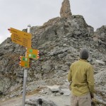
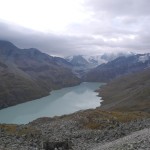
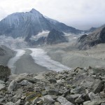
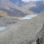
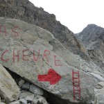
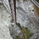
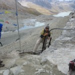
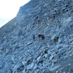
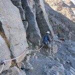
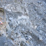
Today was a strenuous but fun 16 km day. We got up early – breakfast was served at 6:30am! We were one of the first groups to leave the hut. It was a steep climb to get out of the rock quarry. We made it to the top of the Col des Roux quickly and from there we could see Lac des Dix, a huge reservoir. We descended down into the valley and walked along the length of the lake. Eventually we reached the southern end of the lake. From there the trail began climbing steeply. The trail we originally planned to take was no longer marked with signs. We therefore had to climb up a different route towards the Glacier de Cheilon. We could see the old trail across the valley and at one point, a rockslide had wiped out a huge portion. We ascended over giant piles of rock and eventually made it to the shrinking Glacier de Cheilon. Our path continued up over shifting rocks to reach the Pas de Chevres. To get over this pass, we had to climb up a series of ladders! To reach the ladders we traversed along a steep and unstable slope, holding on to a chain that was bolted into a rock wall. The first ladder was really long and nearly vertical – no leaning forward to take a rest. I went first and almost panicked, but I made it to the top! It was cold and windy at the top so after a quick bite to eat we headed down into Arolla. As we hiked towards town, we kept hearing and seeing boulders come crashing down the slopes of the Pigne d’Arolla, the mountain behind us. Luckily the trail was well out of the path of these slides.

Day 8: Arolla to La Sage (9 km)
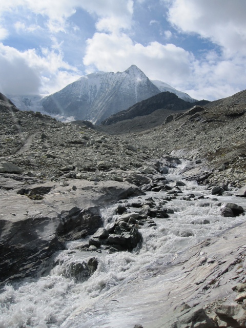
Today was sort of a rest day for us. We only walked about 6 miles through the valley to get to the town of La Sage. We stopped for a giant lunch in Les Hauderes. From there we had to hike uphill in the hot sun. Rob had a difficult time with the heat, but he was thrilled to find wild sage growing just before we arrived in the La Sage. We had fries and beer for dinner. Tomorrow will be a difficult day.
Day 9: La Sage to Cabane de Moiry (10 km)
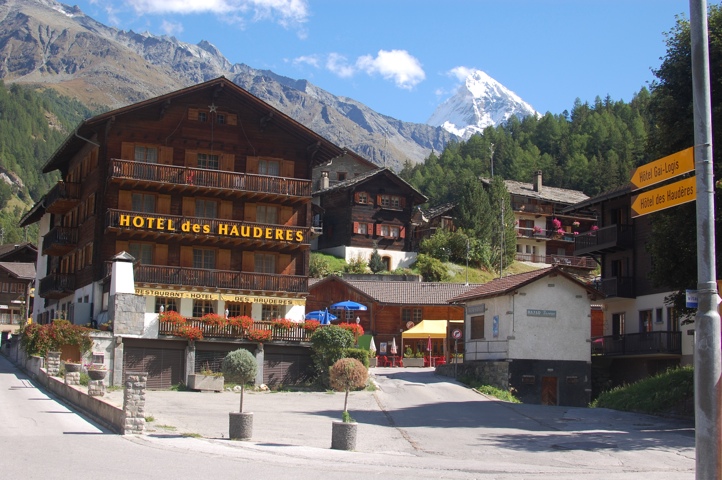
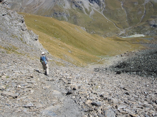
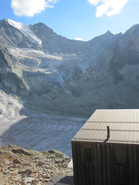
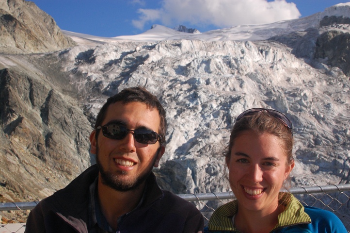
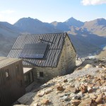
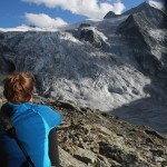
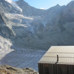
This morning we left La Sage and immediately began a steep hike up to the Col de Tsate. It was a hot and clear day. We started in forest, then got up above the trees into grazing land where we walked through a herd of dairy cows. Eventually we reached the high alpine terrain surrounding the pass. Towards the top, the trail was ridiculously steep – no switchbacks. We ate lunch at the top, then headed down the other (equally steep) side. We made it to some lakes and a parking lot below the Cabane de Moiry, our destination for the night. The hut is perched on a cliff above the Glacier de Moiry and has amazing views. We still had to climb over 1000 feet to reach the hut, but from the parking lot onwards, the trail was a zoo. It is a Saturday night and all 96 beds in the hut are booked. The trail was crowded, hot and steep, but the views of glacier made it a great hike.
Day 10: Cabane de Moiry to Zinal (14 km)
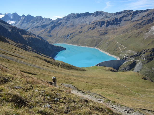
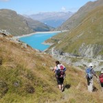
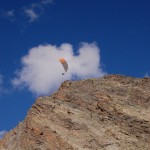
Started today with an early breakfast at the Cabane de Moiry. We then hiked down the mountain, pausing every so often to view the glacier. We woke up some cows on the way down. They stretch just like Kitty when they stand up. When we reached the bottom, we continued on a path that contoured across the hillside towards Lac de Moiry – the bluest reservoir that I have ever seen! We walked the length of the lake, then turned headed up towards Col de Sorebois, yet another steep pass. It was hot and Lac de Moiry looked like a ginormous swimming pool in the distance below us. We ate lunch at the top – the chefs at the hut had packed us really large sandwiches with three layers of bread! While we ate, some paragliders took off from the hill above us, and floated right above our heads. From the pass, we hiked down through a large ski slope towards the town of Zinal. We stopped at the gondola end station, one third of the way down, and had some Rivellas. From there, the trail descended into forest and became very steep. My knees were tired when we reached Zinal. Our hostel is a half mile from downtown, but luckily it also has a restaurant.
Day 11: Zinal to Gruben (14 km)
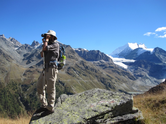
Today we hiked 14 km, up over the Forcletta pass (2874 m) to get to the town of Gruben. We are finally in German speaking territory! We began the day with a trip to the grocery store. We also stopped by an ATM (only one in town), but it was out of cash. Luckily the people at the tourism office helped us out and did some sort of cash back thing with their register. There are no ATM’s in the smaller towns, and many of the hostels only take cash. We had some trouble finding the trail – the book’s description was vague and the maps didn’t help. Eventually we got on the right track. The path started out with a steep grade through the forest. We got above tree line just as the clouds were beginning to clear. We were running later than normal, so we ended up eating lunch before reaching the top of the pass. We then climbed up and over the rocky pass. The way down was very steep at first, then leveled out. As we hiked, a helicopter flew close over our heads and started flying in circles around the top of the pass. We watched it for a while, then continued on. Eventually we made it to Gruben where we are staying in the only hotel in town, the Hotel Schwarzhorn. Everyone we have met along the way is in the same hotel. There is a solo hiker from Iceland (I think), an older couple from Marin County, and two couples (in their 50’s) from Alaska. One of the guys in the Alaska group said the helicopter landed when they were up on the pass. Apparently it was recovering some wreckage from a plane crash that occurred several months ago.
Day 12: Gruben to St Niklaus (15 km)
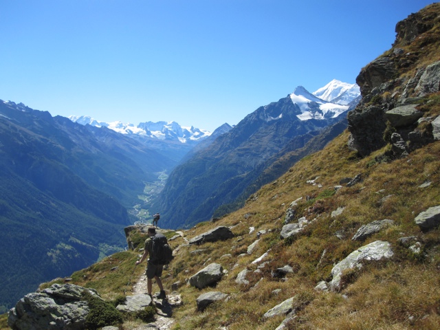
Breakfast was served at 6:30am this morning, so we got another early start. This was good because we had over 1000 meters to climb and we were able to stay in the morning shade for most of it. We reached the top of the Augstbord Pass well before noon. We ate some food at the top. A lot of people were up there, coming from valleys on both sides. Another steep descent, but after a couple miles our trail started traversing across a rocky slope. It felt like we walked around an entire mountain before the trail started going down again. After several hours we made it to the tiny hamlet of Jungen. We had beers, Rivella, and chocolate cake at the only restaurant in town. We sat on the lawn, overlooking the entire valley below us with the snowy peaks and glaciers on the other side. After our break, we headed down the steep trail into St Niklaus. Our hotel was conveniently at end of the trail. Tomorrow we will have time to walk down the road and explore the town.
Day 13: St Niklaus to Gasenried (5 km)
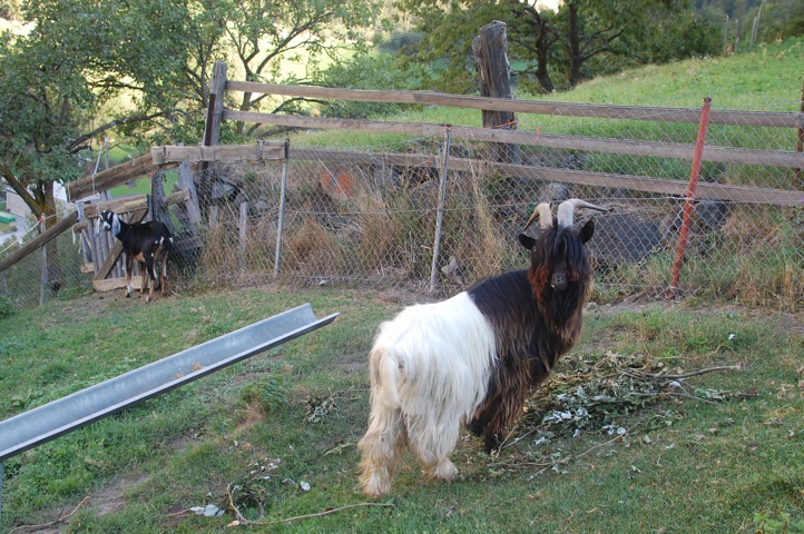
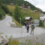
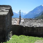
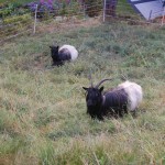
Today was a rest day. We hiked up about 1600 ft to Gasenried (the next town to the East). We walked through forest and farmland. We saw shaggy goats! The trail took us past a group of Swiss farmers digging up potatoes. Eventually we got to some houses. We still had to hike up a steep road to get to downtown. On the way up we passed an older man (we were barely going faster than him). I said hello and he told me he was 82 and the hill is a little more difficult to climb than it used to be. We found a restaurant, ate lunch, then checked into the hotel. Our hotel room is really a 3 bedroom, 2 bath apartment with a kitchen, balcony and views of the glacier above and valley below. Pretty good deal. Tomorrow we begin hiking a section of the Europaweg. It will be difficult, but we should be able to finally see the Matterhorn.
Day 14: Gasenried to the Europahütte (11 km)
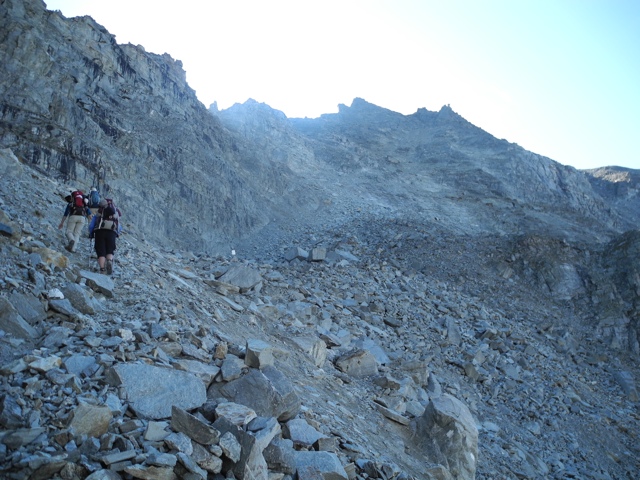
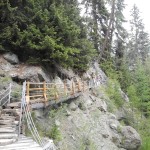
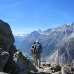
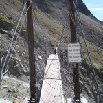
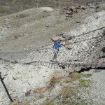
Today we got our first glimpse of the Matterhorn, but the Europaweg is crazy treacherous! We began the day by hiking up several thousand feet through thick forest. I saw a chamois! After two or three hours of hiking, we got above tree line and the trail began traversing along the steep mountain side. This trail probably should not exist – we crossed over many rockslides that continually seem to obliterate sections of the trail. Signs were posted, warning us to cross dangerous areas quickly. We counted 14 different roped sections of trail. Despite all this, the weather was perfect and the views incredible. We could see mountains and glaciers, as well as the remnants of a major landslide that cut off the entire upper portion of the valley in 1991. We made it to the Europahut well before 4pm and we were the first people to arrive. We spent the rest of the afternoon sitting on the balcony watching the continual shower of boulders falling down a nearby cliff. It was fun to watch, but unfortunately the rockslides are all on what would have been tomorrow’s route to Zermatt. That portion of the trail had been closed all year, so we will have a major detour in our hike tomorrow.

Day 15: Europahütte to Zermatt
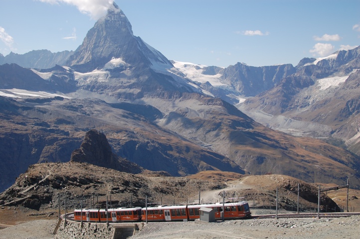
Last day of our hike today. We got an early start from the Europa Hut. The trail just past the hut is closed (due to rockslides) so we descended down several thousand feet to the town of Randa. From there, we walked up the valley into Zermatt. Much of the walk followed the train tracks. It got progressively more crowded as we neared Zermatt. We made it into town by early afternoon. The weather was hot and clear, so we hopped on the train and headed up to the top of the Gornegrat for a late lunch. It was a great way to end our trip, and luckily the weather just happened to be perfect.





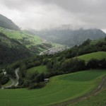
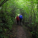
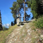
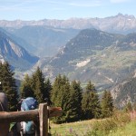
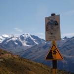
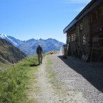
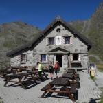
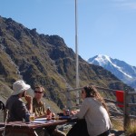
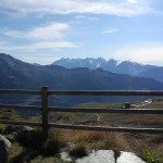
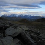
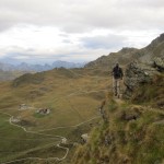

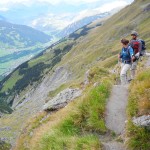
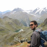
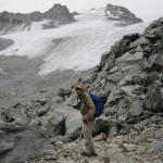
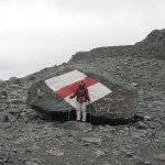
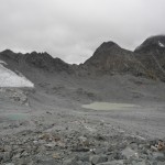
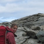
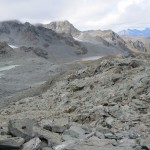
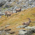



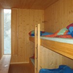
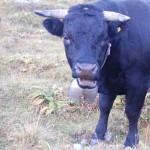
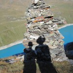
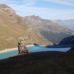
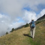
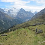

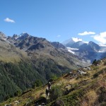
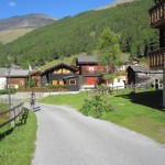
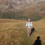
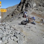
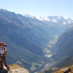
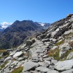
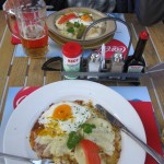
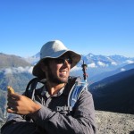
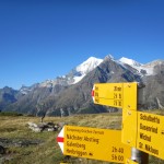
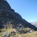
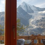
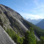
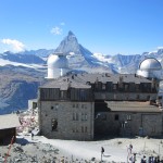
WOW – these are beautiful photos. Can’t wait to see the rest!
Very interesting pictures and I enjoyed your experience of this tour. Hope to make it as well in the near feature.
Ueli and Gabriella
isnt this in france and not california